

Completed: February 05, 2023 July 30, 2023 | Elevation: 1,058′ | Trail: Woodoaks Trail and Scettrini Fire Road (Out & Back) | Distance: 3.4 miles
July 30, 2023 Update: We officially completed the hike to San Pedro Mountain, making it our 59th peak. What a difference a few months makes. Compared to the cool temperatures we first experienced in February, this time it was hot. No more green hills filled with Warrior’s Plume; instead, everything was dry and dusty.
From Woodoaks Trail we descended to Scettrini fire road (no signs). We turned left and followed it until we reached a three-way junction. Rather than staying on the fire road, we chose the mountain bike trail to the left. It’s steeper, with rocks and ruts, but it made for a more interesting hike up and the upper sections of it cut through manzanita groves. The trail runs parallel to the fire road the entire time and eventually the two reconnect. Scettrini then dead ends into Bay Hills fire road. Here, we turned right through the gate and walked a short distance up to the nike missile site. Really nice views from the top and it was a perfectly clear day. On the return, instead of the mountain bike trail, we chose the fire road to save the knees. Not having to navigate the ruts going down also made for a faster descent.
The hike took us just under 2 hours.

Our *second* Nifty Ninety peak was selected opportunistically. With the (temporary) closure of the Arc’teryx store in San Francisco, the closest one was now in Corte Madera. We needed to get a jacket repaired, and it just so happened that San Pedro Mountain Preserve, located near San Rafael, was only a 20-minute drive away. Nothing like being able to tackle two to-do items in one trip.
However, once back home after completing the hike, I did more research (probably should have done that before doing the hike) and learned that the trail we followed using AllTrails hadn’t actually taken us to the top, which is supposed to be marked by an old Nike missile site. So, we will have to re-do this peak.
The hike we did do was beautiful though. The trailhead was located at the end of Woodoaks Drive, a residential street, and started with a gentle grade, before turning left across a stream that was running pretty substantially given the recent rain.

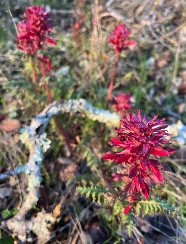
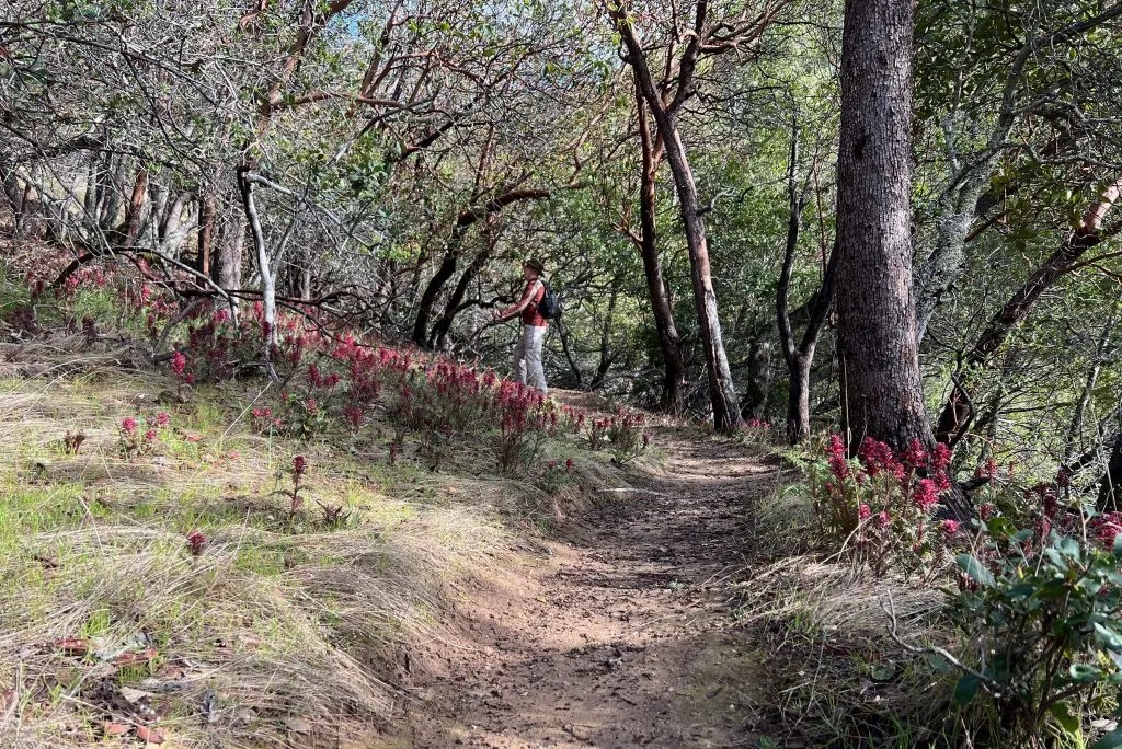
From there it was a steady climb, with a few switchbacks, for 0.7 miles to the high point of the trail at 960 feet. Oak and madrone provided shade (although not entirely needed given the partially overcast skies) and Warrior’s Plume, showing the first signs of flowering, covered grassy patches.
From here the trail edged down to a fire road where we were afforded views that stretched all the way to San Francisco.

We went turned left, following the road for 0.2 miles before making a sharp right onto a narrow trail that led us about 580 feet into the canyon. At one point the trail went through a beautiful grove of manzanitas.

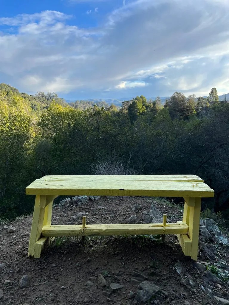
As we made our way out of the canyon, the trail crossed a dead-end street before veering back into the woods again. We came across a bright yellow bench and a gnome village before coming back onto the fire road (approaching it from the west). From here it was a gradual ascent to the top of the ridge and then retracing our steps back to the car.

Coda
It took us about 2.5 hours to complete the trail. Considering that it had rained the day before and that morning, and then again for about 5 minutes while we were hiking, the trail was not as muddy as I would have expected. The trail was a great mix of sun and shade, wide and narrow, up and down, with beautiful vistas sprinkled in along the way. While we were bummed to learn that we hadn’t actually completed a Nifty Ninety, the hike was really enjoyable so we’re not really regretting having to do it again.