

Completed: February 11, 2023 | Elevation: 1,339′ | Trail: Inverness Ridge to Bucklin Out & Back | Distance: 1 mile
The plan for today was to complete the two Nifty Ninety peaks located in the Point Reyes National Seashore: Point Reyes Hill and Mount Wittenberg. Both were new hikes for us. We decided to tackle Point Reyes Hill first—it was easier, so would make a good warm-up hike, and was farther north, which meant we could do Mount Wittenberg on our way back home.
Our first challenge, though, was to find the start of the Point Reyes Trailhead located at the south end of Mt. Vision Road in Inverness. I had entered the GPS coordinates (38.08395, -122.8707) directly into Google Maps but we found ourselves at the beginning of the Inverness Ridge Trail just off Sunnyside Drive. We would have needed to hike about 35 minutes to reach Mt. Vision Road. Ironically, after all the driving around we did to find the right trailhead, that may have been faster in the end.
We drove back down to Sir Francis Drake Boulevard, and this time, when I re-entered the coordinates, Google Maps took us to Gunn Road, which would have taken us to Mt. Vision Road, except that it was only for authorized vehicles. At this point, I finally realized that Google Maps was not going to get us to where we wanted to be. Reviewing the map, I noticed that there was another way to get to Mt. Vision Road by staying on Sir Francis Drake as it rounds past Pierce Point Road.
Back on track, we finally made our way up Mt. Vision Road. It was a beautiful, winding drive with great views out towards Drakes Bay. The road dead-ended at a gate with a large parking area. Two other cars were leaving as we arrived, and soon we were the only ones there.
Needing to make up some time, we quickly headed out on Inverness Ridge Trail, a wide, paved road, with views to the ocean.
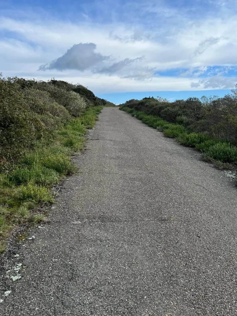
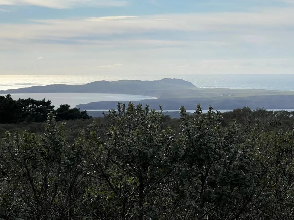
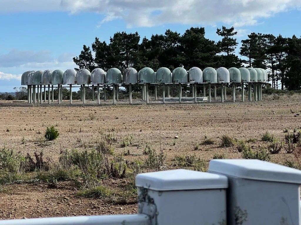
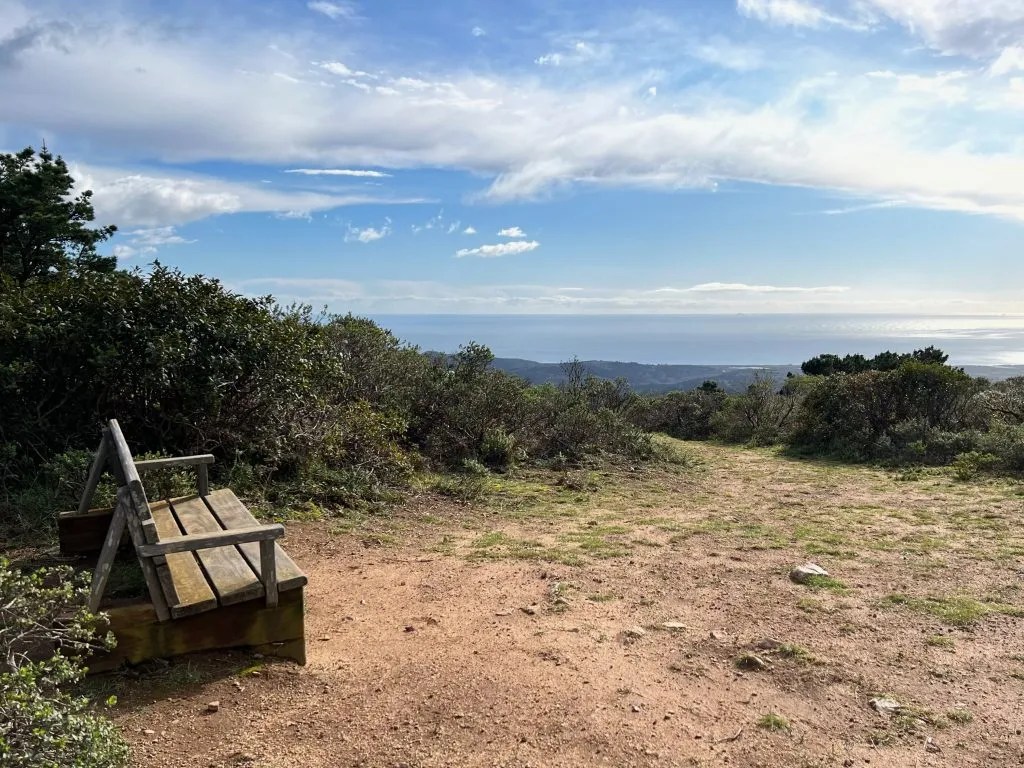
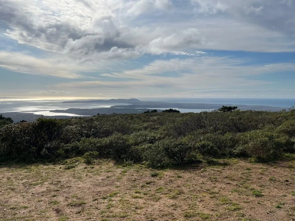
It has a gentle grade, and after 0.4 miles, we reached the junction with Bucklin Trail and turned right onto a dirt path. We walked past an FAA air traffic control facility and then saw the bench that marks the top of Point Reyes Hill. We paused to enjoy the views before turning back and heading to our next peak.
Follow our progress bagging the Bay Area’s Nifty Ninety here.
Coda
This was a short and sweet walk with a great payoff. The view of the hills out to Drakes Bay was amazing.
It was also probably the easiest and most direct route to Point Reyes Hill. We were somewhat pressed for time so it worked our for us, but under different circumstances, I might have started at the south end of Inverness Ridge Trail and walked north. Conversely, to make this a longer hike, we could have continued on Inverness Ridge Trial heading south.